Elevation 391 m (1,283 ft) Area 229 ha Postal code 55743 Dialling code 06785 | Time zone CET/CEST (UTC+1/+2) Local time Sunday 6:42 PM Population 256 (31 Dec 2008) | |
 | ||
Weather 11°C, Wind E at 10 km/h, 38% Humidity | ||
Gerach is an Ortsgemeinde – a municipality belonging to a Verbandsgemeinde, a kind of collective municipality – in the Birkenfeld district in Rhineland-Palatinate, Germany. It belongs to the Verbandsgemeinde of Herrstein, whose seat is in the like-named municipality.
Contents
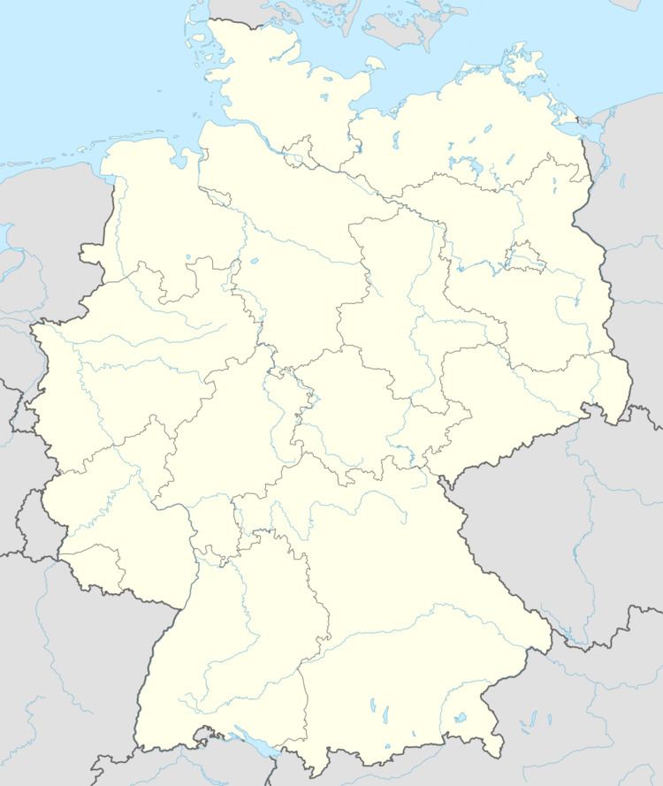
- Map of Gerach Germany
- Location
- Constituent communities
- Municipal council
- Mayor
- Coat of arms
- Culture and sightseeing
- Transport
- References
Map of Gerach, Germany
Location
South of Gerach are not only Idar-Oberstein’s extensive municipal area but also the Ortsgemeinden of Hintertiefenbach and Vollmersbach. The Deutsche Edelsteinstraße (“German Gem Road”), which runs by to the north, also links Gerach to the Ortsgemeinden of Veitsrodt, Niederwörresbach and Fischbach as well as to the administrative seat of the Verbandsgemeinde of Herrstein.
Constituent communities
Also belonging to Gerach is the outlying homestead of Geracher Mühle.
Municipal council
The council is made up of 6 council members, who were elected by majority vote at the municipal election held on 7 June 2009, and the honorary mayor as chairman.
Mayor
Gerach’s mayor is Thomas Juchem, and his deputies are Günter Schmähler and Wolfgang Schüler.
Coat of arms
The municipality’s arms might be described thus: Per bend sinister argent a hammer and pick per saltire sable and chequy gules and argent, issuant from base a bishop’s staff of the second.
Culture and sightseeing
The Geracher Wasserschleiferei, a water-driven gem-cutting mill, dates from 1874.
Transport
To the southeast runs Bundesstraße 41. In Fischbach is a railway station on the Nahe Valley Railway (Bingen–Saarbrücken).
