
Vehicle registration ΑΤ Local time Sunday 6:49 PM | Time zone EET (UTC+2) Area 466.7 km² | |
 | ||
Weather 9°C, Wind W at 10 km/h, 62% Humidity | ||
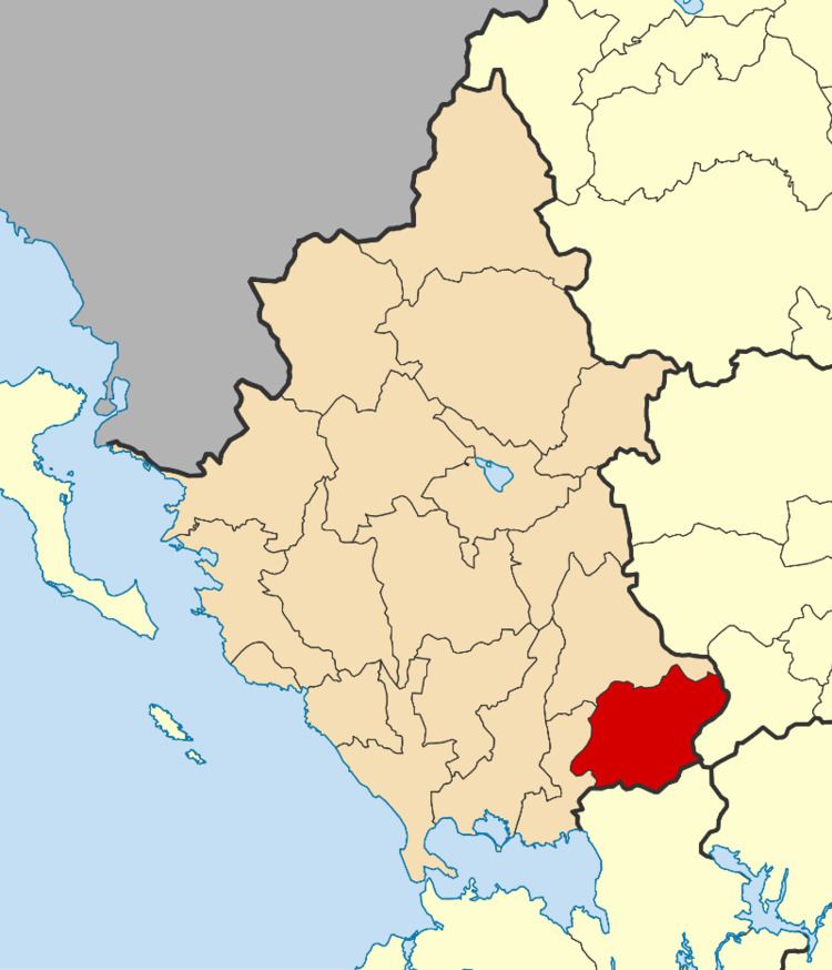
Georgios Karaiskakis (Greek: Γεώργιος Καραϊσκάκης) is a municipality in the regional unit of Arta, Greece, named after Georgios Karaiskakis, a leader of the Greek War of Independence. The seat of the municipality is in Ano Kalentini.
Contents
Map of Georgios Karaiskakis, Greece
Municipality
The present municipality Georgios Karaiskakis was formed at the 2011 local government reform by the merger of the following 3 former municipalities, that became municipal units:
The municipality has an area of 463.889 km2, the municipal unit 174.179 km2.
References
Georgios Karaiskakis (municipality) Wikipedia(Text) CC BY-SA