
 | ||
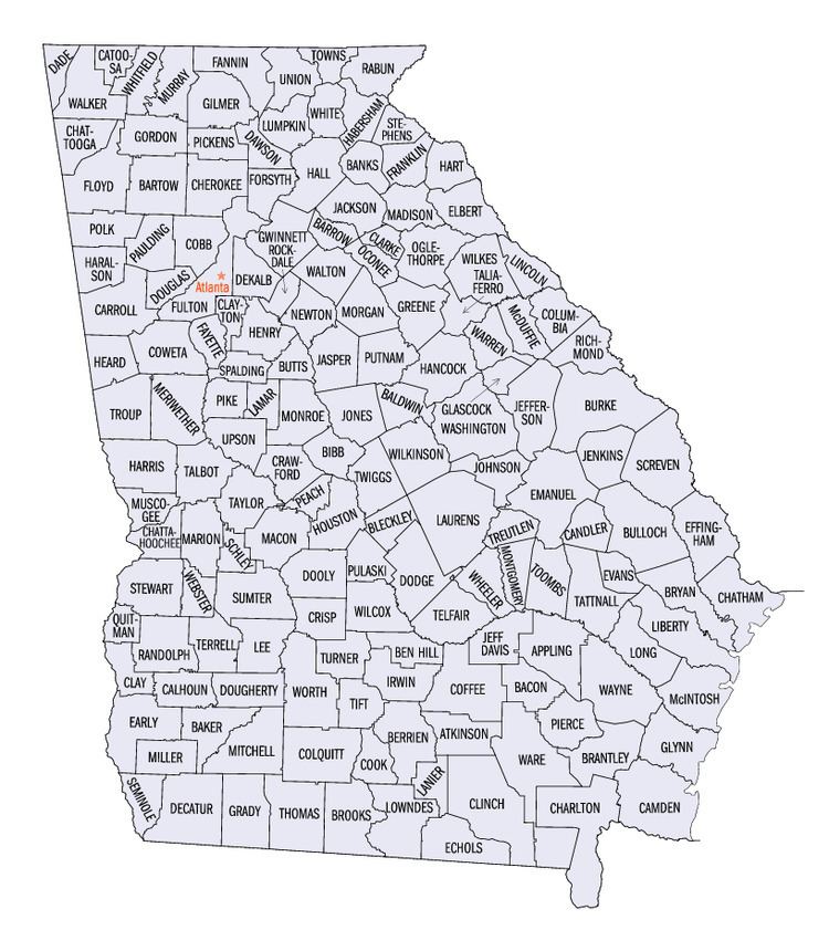
There are 44 United States statistical areas and 159 counties of the State of Georgia. The statistical areas of the United States of America comprise the metropolitan statistical areas (MSAs), the micropolitan statistical areas (μSAs), and the combined statistical areas (CSAs) currently defined by the United States Office of Management and Budget (OMB).
Most recently on February 28, 2013 the Office of Management and Budget defined 1,098 statistical areas for the United States, including 8 combined statistical areas, 15 metropolitan statistical areas, and 23 micropolitan statistical areas in the State of Georgia. The table below shows the recent population of these statistical areas and the 159 counties of the State of Georgia.
Table
The table below describes the 44 United States statistical areas and 159 counties of the State of Georgia with the following information:
An out-of-state area's population is displayed in green.
- The combined statistical area (CSA) as designated by the OMB.
- The CSA population as of July 1, 2014, as estimated by the United States Census Bureau.
- The core based statistical area (CBSA) as designated by the OMB.
- The CBSA population as of July 1, 2014, as estimated by the United States Census Bureau.
- The county name.
- The county population as of July 1, 2014, as estimated by the United States Census Bureau.