
Country United States Elevation 249 m | Time zone Central (CST) (UTC-6) Local time Sunday 8:50 AM | |
 | ||
Weather -2°C, Wind SE at 2 km/h, 84% Humidity | ||
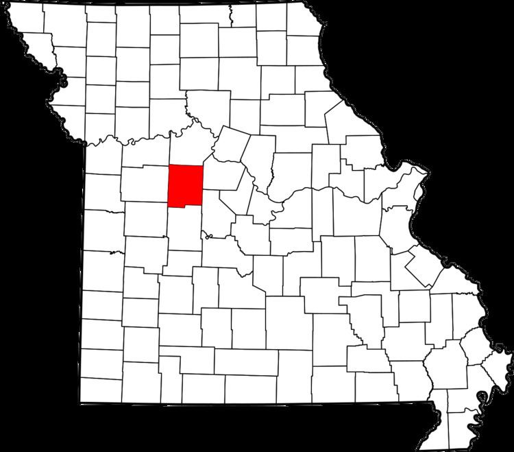
Georgetown is an unincorporated community or populated place (Class Code U6) located in Pettis County. The elevation is 833 feet.
Contents
Map of Georgetown, MO 65301, USA
History
Georgetown was platted in 1833, and named after Georgetown, Kentucky, the native home of a first settler. A post office called Georgetown was established in 1837, and remained in operation until 1921.
References
Georgetown, Missouri Wikipedia(Text) CC BY-SA