
Country United States Zip code 17566 Population 1,022 (2010) | Time zone Eastern (EST) (UTC-5) Local time Sunday 9:49 AM Area code 717 | |
 | ||
Weather -3°C, Wind W at 18 km/h, 52% Humidity | ||
Georgetown is a small, unincorporated community and a census-designated place located in Bart Township, Lancaster County, Pennsylvania. It is located approximately 54 miles (88 kilometers) from Philadelphia. The main roads running through the village are Georgetown Road (Route 896) and the Christiana Pike (Route 372). As of the 2010 census the population was 1,022 residents.
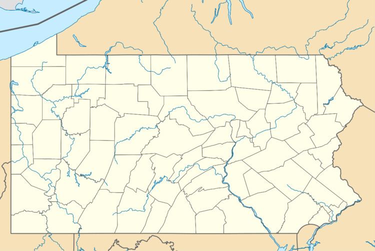
Map of Georgetown, PA 17566, USA
Georgetown is basically a rural instersection of roads with some residential houses and other small buildings. There is no main street or definable boundaries.
Georgetown is located in an area of southern Lancaster County with a large concentration of Amish residents. It lies close to the border with Chester County.
The village of Georgetown lies less than a mile from the small community of Nickel Mines, site of the tragic 2006 Amish school shooting. The alleged shooter, Charles Carl Roberts IV, was a resident of Georgetown, where he lived with his wife and children.