
Country United States Counties Chatham GNIS feature ID 1694531 Population 11,823 (2010) | FIPS code 13-32482 Elevation 4.6 m | |
 | ||
Area 22.79 km² (21.24 km² Land / 129 ha Water) | ||
Georgetown is a census-designated place (CDP) in Chatham County, Georgia, United States. The population was 11,823 at the 2010 census. Georgetown lies across the Little Ogeechee River (and city limits) from Savannah, Georgia, and is a suburban "bedroom community" of Savannah, where most of its adult residents work. It is part of the Savannah, GA Metropolitan Statistical Area.
Contents
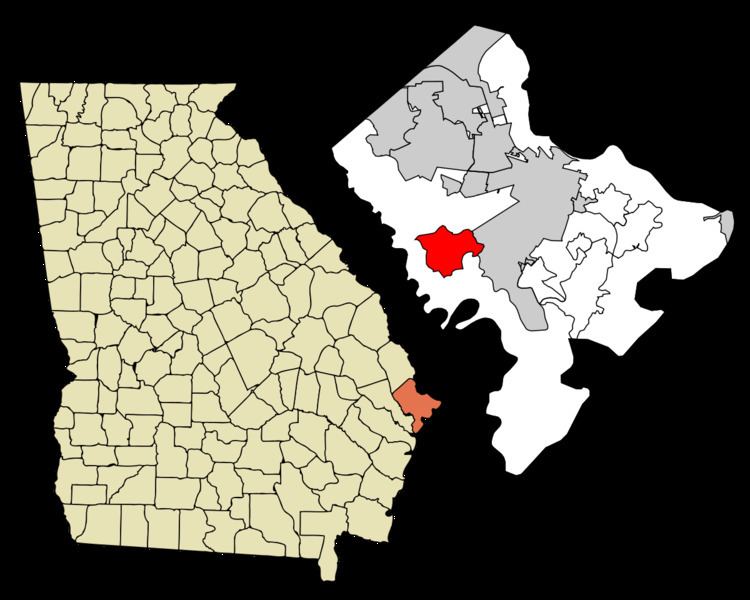
Map of Georgetown, GA, USA
Georgetown was constructed mostly in the late 1970s and early 1980s, but new subdivisions have been built recently. Shopping facilities are now more plentiful and continue to be added. Two schools in Georgetown are units of the Savannah-Chatham public school system: Georgetown Elementary and Southwest Middle School. Georgetown's public high school students attend Windsor Forest High School in Savannah.
Geography
Georgetown is located in western Chatham County at 31°58′47″N 81°13′56″W. It is bordered to the east, south, and west by portions of the city of Savannah and has lost area since the 2000 census due to annexations by city. To the northwest is the unincorporated community of Henderson. U.S. Route 17 forms the northwestern edge of Georgetown, and leads northeast 11 miles (18 km) to downtown Savannah and southwest 5 miles (8 km) to Richmond Hill. Veterans Parkway begins in the eastern part of Georgetown and also leads 11 miles (18 km) to the center of Savannah.
According to the United States Census Bureau, the Georgetown CDP has a total area of 8.8 square miles (22.7 km2), of which 8.2 square miles (21.3 km2) is land and 0.54 square miles (1.4 km2), or 6.30%, is water.
Demographics
As of the census of 2000, there were 10,599 people, 4,123 households, and 2,820 families residing in the CDP. The population density was 923.3 people per square mile (356.5/km²). There were 4,341 housing units at an average density of 378.2/sq mi (146.0/km²). The racial makeup of the CDP was 72.78% White, 19.89% African American, 0.39% Native American, 3.09% Asian, 0.07% Pacific Islander, 1.72% from other races, and 2.08% from two or more races. Hispanic or Latino of any race were 4.62% of the population.
There were 4,123 households out of which 37.2% had children under the age of 18 living with them, 56.9% were married couples living together, 8.4% had a female householder with no husband present, and 31.6% were non-families. 22.5% of all households were made up of individuals and 2.7% had someone living alone who was 65 years of age or older. The average household size was 2.57 and the average family size was 3.07.
In the CDP, the population was spread out with 27.0% under the age of 18, 10.9% from 18 to 24, 40.0% from 25 to 44, 17.4% from 45 to 64, and 4.6% who were 65 years of age or older. The median age was 30 years. For every 100 females there were 99.6 males. For every 100 females age 18 and over, there were 98.3 males.
The median income for a household in the CDP was $48,393, and the median income for a family was $54,951. Males had a median income of $40,359 versus $27,160 for females. The per capita income for the CDP was $22,051. About 2.5% of families and 5.5% of the population were below the poverty line, including 3.1% of those under age 18 and 12.9% of those age 65 or over.