
Topo map USGS Standrod Elevation 2,926 m | Easiest route Four wheel drive road Prominence 177 m | |
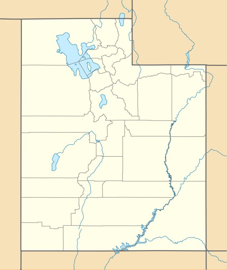 | ||
Location Box Elder County, Utah, U.S. | ||
George Peak, at 9,606 feet (2,928 m) is the second highest peak in the Raft River Mountains of Utah. The peak is located in Sawtooth National Forest and Box Elder County. It is 6.2 mi (10.0 km) west of Bull Mountain and can be accessed via forest road 009, which travels near the summit.
Map of George Peak, Utah 84329, USA
References
George Peak Wikipedia(Text) CC BY-SA