
 | ||
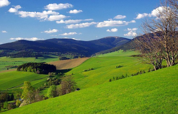
The geography of the Czech Republic is quite varied. Bohemia, at the west part of Czech Republic, consists of a river basin, drained by the Elbe (Czech: Labe) and Vltava rivers. It is surrounded by mostly low mountains such as the Sudetes with its part Krkonoše, containing the highest point in the country, the Sněžka at 1,602 metres (5,256 ft). Moravia, the eastern part, is also quite hilly and is drained predominantly by the Morava river, but also contains the source of the Oder (Czech: Odra) river. Water from the landlocked Czech Republic flows to three different seas: the North Sea, Baltic Sea and Black Sea. The Czech Republic also possesses Moldauhafen, a 30,000-square-metre (7.4-acre) enclave in the middle of Hamburg docks, which was awarded to Czechoslovakia by Article 363 of the Treaty of Versailles to allow the landlocked country a place where goods transported downriver could be transferred to seagoing ships; this territory reverts to Germany in 2028.
Map of Czechia
Location: Central Europe, southeast of Germany
Geographic coordinates: 49°45′N 15°30′E
Map references: Europe
Area:
Area - comparative: slightly smaller than South Carolina, USA; slightly larger than Scotland
Land boundaries:
Panhandles:
Aš Hook, Šluknov Hook, Frýdlant Hook, Broumov Hook, Javorník Hook, Osoblaha Hook, Břeclav Hook (March-Thaya Triangle).
Coastline: 0 km (landlocked)
Maritime claims: none (landlocked)
Climate: temperate; hot summers; cold, cloudy, humid winters
Terrain: Bohemia in the west consists of rolling plains, hills, and plateaus surrounded by low mountains; Moravia in the east consists of very hilly country
Elevation extremes:
Natural resources: hard coal, soft coal, kaolin, clay, graphite, timber, uranium
Land use:
Irrigated land: 385.3 km2 or 148.8 sq mi0 (2007)
Total renewable water resources: 13.15 km3 (3 cu mi) (2011)
Freshwater withdrawal (domestic/industrial/agricultural):
Natural hazards: flooding
Environment - international agreements:
Geography - note: landlocked; strategically located astride some of oldest and most significant land routes in Europe; Moravian Gate is a traditional military corridor between the North European Plain and the Danube in central Europe