
 | ||
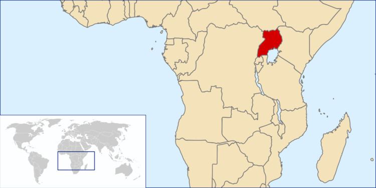
Uganda is located in eastern Africa, west of Kenya, south of South Sudan, east of the Democratic Republic of the Congo, and north of Rwanda and Tanzania. It is in the heart of the Great Lakes region, and is surrounded by three of them, Lake Edward, Lake Albert, and Lake Victoria. While much of its border is lakeshore, Uganda is landlocked with no access to the sea.
The country is mostly plateau with a rim of mountains.
The climate is tropical and generally rainy with two dry seasons (December to February, June to August). It is semiarid in the northeast.
Geographic coordinates: 1°00′N 32°00′E
Statistics
Area:
total: 241,551 square kilometres (93,263 sq mi)
land: 200,523 square kilometres (77,422 sq mi)
water: 41,028 square kilometres (15,841 sq mi)
Land boundaries:
total: 2,729 kilometres (1,696 mi)
border countries: Democratic Republic of the Congo 877 kilometres (545 mi), Kenya 814 kilometres (506 mi), South Sudan 475 kilometres (295 mi), Tanzania 391 kilometres (243 mi), Rwanda 172 kilometres (107 mi)
Elevation extremes:
lowest point: 620 metres (2,030 ft) Lake Albert
highest point: 5,111 metres (16,768 ft) Margherita Peak on Mount Stanley
Natural resources:
copper, cobalt, hydropower, limestone, salt, arable land, gold
Land use: (2012)
arable land: 69,000 square kilometres (27,000 square miles) 34.41%
permanent crops: 22,500 square kilometres (8,700 square miles) 11.22%
forest cover: 28,100 square kilometres (10,800 square miles) 14.01%
other: 80,931 square kilometres (31,248 sq mi) 40.36%
Irrigated land: (2012)
140 square kilometres (54 square miles)
Total renewable water resources:
66 cubic kilometres (16 cu mi) (2011) or 60 cubic kilometres (14 cu mi) (2012)
Environment - current issues:
draining of wetlands for agricultural use, deforestation, overgrazing, soil erosion, water hyacinth infestation in Lake Victoria, widespread poaching
Environment - international agreements:
party to:
signed, but not ratified:
Geography - note: Uganda is one of six African states that lies on the equator. Most of Uganda is north of the equator.