Time zone CET (UTC+1) Population 755 (1999) | Canton Graçay Area 34.66 km² Local time Sunday 1:54 AM | |
 | ||
Weather 6°C, Wind NW at 0 km/h, 92% Humidity | ||
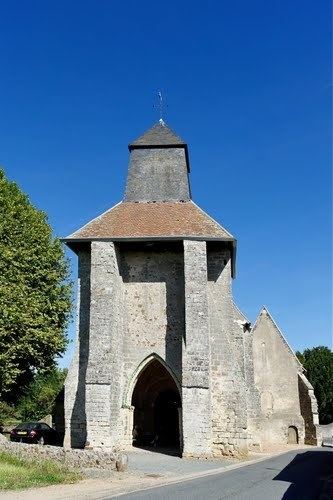
Genouilly is a commune in the Cher department in the Centre region of France.
Contents
Map of 18310 Genouilly, France
Geography
Genouilly is a farming area comprising a village and several hamlets situated some 10 miles (16 km) west of Vierzon at the junction of the D108, D19 and D164 roads. The commune borders the departments of Loir-et-Cher and Indre. Three small rivers have their source here: the Prée, the Molène and the Perry.
Sights
References
Genouilly, Cher Wikipedia(Text) CC BY-SA
