
Country United States ZIP codes 50601, 50625, 50633 Elevation 324 m Local time Saturday 5:11 PM | Time zone CST (UTC-6) GNIS feature ID 0467906 Area 93.57 km² Population 324 (2010) | |
 | ||
Weather -4°C, Wind NW at 11 km/h, 34% Humidity | ||
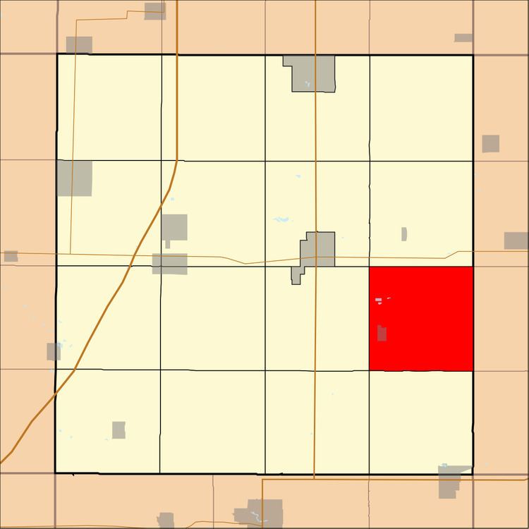
Geneva Township is one of sixteen townships in Franklin County, Iowa, United States. As of the 2010 census, its population was 324 and it contained 155 housing units.
Contents
- Map of Geneva IA USA
- History
- Geography
- Cities towns villages
- Cemeteries
- School districts
- Political districts
- References
Map of Geneva, IA, USA
History
Geneva Township was created in 1858.
Geography
As of the 2010 census, Geneva Township covered an area of 36.13 square miles (93.6 km2); of this, 36.04 square miles (93.3 km2) (99.76 percent) was land and 0.09 square miles (0.23 km2) (0.24 percent) was water.
Cities, towns, villages
Cemeteries
The township contains Fourmile Grove Cemetery and Lindenwood Cemetery.
School districts
Political districts
References
Geneva Township, Franklin County, Iowa Wikipedia(Text) CC BY-SA