
Time zone IST (UTC+5:30) Elevation 5 m | PIN 600082 Area code 044 | |
 | ||
General Kumaramangalam Colony (also known as G.K.M Colony) is a sub-neighbourhood of Perambur, Chennai. It was initially created as a residential area for ex-Military persons. It is named after Paramasiva Prabhakar Kumaramangalam, a former Indian Army Chief of Staff.
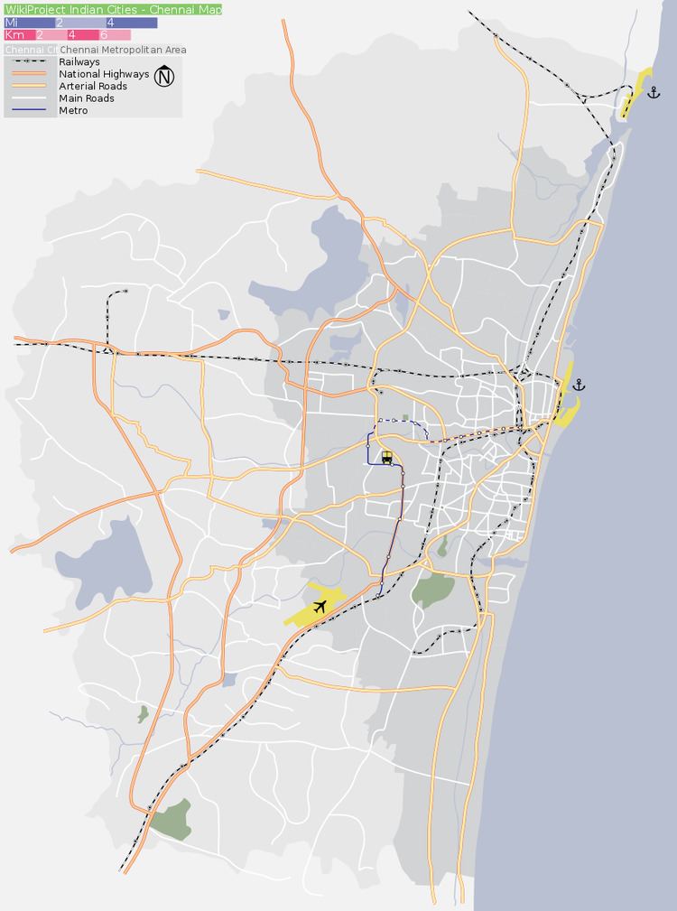
Map of General Kumaramangalam Colony, Kolathur, Chennai, Tamil Nadu
This area is also known as "Butt Medu", as there used to be small hill made of mud for the army people to practice shooting and once the military camps were removed in early 70's, the mud hill was made flat and the new residential area was developed.
The area goes from the right side of Perambur Loco Works railway station end to the Villivakkam railway station. This place forms part of the newly created Constituency "Kolathur"
The area was basically developed as a residence, but now a few small commercial establishments have emerged. There are Temples, churches and Mosques and a many catholic grotos a small pond inbetween street 9 and street10 large pond between street 24 and street 25.
Though the infrastructure is reasonable the Public Road Transport is not well developed the community is depending on buses from either Villivakkam, I C F or Periyar Nagar Bus Terminus. Further connecting to this area from South West is hindered by a Level Crossing (which is the first level crossing in the route from Chennai Central towards Bangalore).
There are two Chennai Schools and few government run Kindergartens (Balvadis).