
Founded by ? Demonym(s) alvearense Area 14,448 km² | Established August 12, 1912 Postal Code M5620 Area code 02625 | |
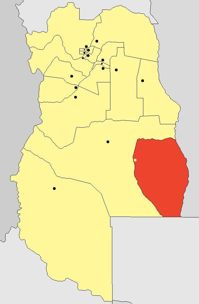 | ||
General Alvear is a department located in the south east of Mendoza Province in Argentina.
Contents
- Map of General Alvear Department Mendoza Province Argentina
- Name
- History
- Districts
- Smaller settlements
- References
Map of General Alvear Department, Mendoza Province, Argentina
The provincial subdivision has a population of about 44,000 inhabitants in an area of 14,448 km², and its capital city is General Alvear, which is located around 900 km from Buenos Aires.
The City of general Alvear is home to a campus of Universidad Nacional de Cuyo.
The partido and its agricultural lands are irrigated by the Rivers Diamante and Atuel.
Name
The department and its head town are named after General Carlos María de Alvear (1789-1852) a hero of the Argentine War of Independence.
History
Districts
Smaller settlements
References
General Alvear Department, Mendoza Wikipedia(Text) CC BY-SA