
 | ||
Elevation 155 m above sea level (NN) (509 ft) Similar Kronsberg, Süntel, Besucherbergwerk Klosterstollen, Marienburg Castle, Ihme | ||
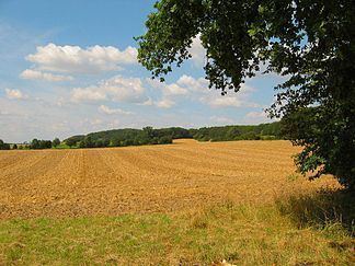
The Gehrdener Berg is a forested ridge in the Calenberg Land in Hanover Region in the north German state of Lower Saxony. On its slopes nestles the town of Gehrden that gives the ridge its name. The ridge is about 2.7 kilometres long and is the sister hill range of the Benther Berg in southwest Hanover. Its highest point is the Burgberg at 155 metres above sea level (NN).
Map of Gehrdener Berg, 30989 Gehrden, Germany
References
Gehrdener Berg Wikipedia(Text) CC BY-SA