
Country Armenia Elevation 2,080 m (6,820 ft) Postal code 1405 Population 6,529 (2010) | Founded 15th century Time zone GMT+4 (UTC+4) Local time Saturday 4:07 PM Marz province Gegharkunik Province | |
 | ||
Weather 3°C, Wind S at 8 km/h, 72% Humidity | ||
Geghhovit (Armenian: Գեղհովիտ, or Geghahovit; known as Verin Gharanlugh until 1968) is a major village in the Gegharkunik Province of Armenia, founded in the 15th century. The Geghhovit community includes the nearby villages Lernahovit and Nshkhark. In the village is the roofless church of S. Gevorg, built in 1873. The church has some older khachkars built into its walls and is surrounded by a medieval cemetery. There is also a modern small gray basalt Tukh Manuk Chapel in the southern half of the village. Both buildings are located just off the main highway through town.
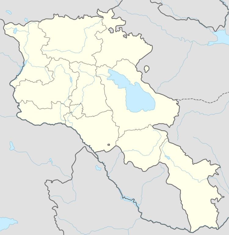
Map of Geghhovit, Armenia
References
Geghhovit Wikipedia(Text) CC BY-SA