
Area codes 019 Province Liège Area code 019 | Postal codes 4250, 4252-4254 Website www.geer.be Local time Saturday 12:40 PM | |
 | ||
Weather 13°C, Wind SE at 5 km/h, 41% Humidity | ||
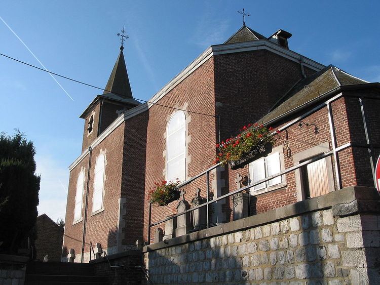
Geer is a Walloon municipality of Belgium in Province of Liege. On January 1, 2006, Geer had a total population of 2,854. The total area is 23.62 km² which gives a population density of 121 inhabitants per km². Geer lies along the upper course of the river Jeker, which is called Geer in French.
Map of Geer, Belgium
The municipality consists of the following sub-municipalities: Geer proper, Boëlhe, Darion, Hollogne-sur-Geer, Lens-Saint-Servais, Ligney, and Omal.
References
Geer Wikipedia(Text) CC BY-SA