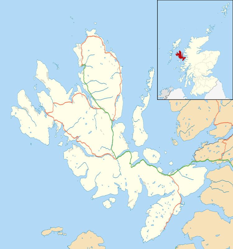
OS grid reference NG522346 Sovereign state United Kingdom Postcode district IV51 9 Local time Saturday 11:02 AM | Council area Highland | |
 | ||
Weather 10°C, Wind S at 26 km/h, 92% Humidity | ||
Gedintailor (Scottish Gaelic: Gead an t-Sailleir) is a crofting village, lying on the shores of the Narrows of Raasay on the east coast of the island of Skye in Scotland and is in the council area of Highland.
Map of Gedintailor, Portree, UK
The village lies on the B883 road, with the largest village of Camastianavaig 3 miles to the north, and the settlement of Peinachorran directly to the south.
References
Gedintailor Wikipedia(Text) CC BY-SA
