
 | ||
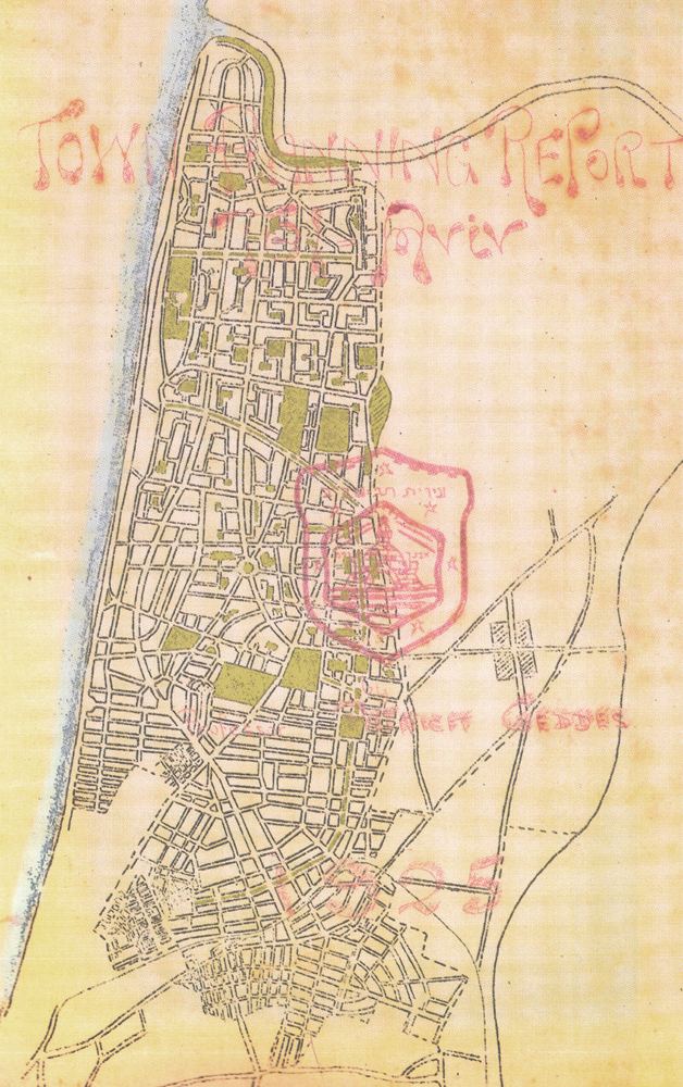
The Geddes Plan for Tel Aviv was the first master plan for Tel Aviv. It was created by the Scottish town planner Patrick Geddes between the years 1925–1929. the plan was an extension of the first neighborhoods of the city (which are now in the southern part adjacent to the Jaffa) to the Yarkon River that was the northern boundary of the plan.
The plan refers to the area known today as the "Old North", where the eastern boundary of the plan is Ibn Gabirol Street and the western boundary is the Mediterranean Sea. the Geddes Plan envisioned public gardens surrounded by residential blocks and small streets, with main roads crossing the city from east to west and south to north.
References
Geddes Plan (Tel Aviv) Wikipedia(Text) CC BY-SA