
Time zone EET (UTC+2) | Elevation 32 m (105 ft) Local time Saturday 10:21 AM | |
 | ||
Weather 11°C, Wind W at 5 km/h, 80% Humidity | ||
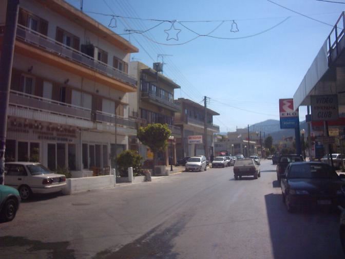
Gazi (Greek: Γάζι) is a town and a former municipality in the Heraklion regional unit of Crete in Greece. Since the 2011 local government reform it is part of the municipality Malevizi, of which it is a municipal unit. It lies 6 kilometres (4 miles) west of Heraklion, on the north coast of Crete. With 12,606 inhabitants (2011 census), it was the seat of the municipality of Gazi (Δήμος Γαζίου), which comprised several nearby villages with a total population of 19,221 and an area of 95.81 square kilometres (36.99 sq mi).
Map of Gazi, Greece
Villages of Gazi municipal unit, by community:
Fodele is claimed as the birthplace of the painter El Greco, but this is disputed. His family were from the area and there is a Museum of El Greco in the village.
The ruins of a Venetian castle are at Palaiokastro ("Old Castle").
Agia Pelagia is a seaside resort village.