
Population 2,655 (2011 census) Postal code 4051 | Postcode(s) 4051 | |
 | ||
Location 9 km (6 mi) from Brisbane | ||
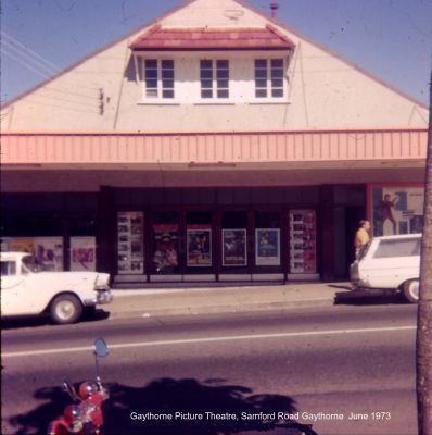
Gaythorne is a suburb of Brisbane, Queensland, Australia. It is located seven kilometres north-west of the Brisbane central business district. Gaythorne is situated on the slopes of Enoggera Hill. It shares some streets with the neighbouring suburb of Mitchelton. In the late 1990s it was split from Enoggera, a much larger suburb and a suburb it still shares its postcode with. It is a leafy, residential suburb with the dominant architectural style being "Queenslander" architecture. It adjoins the Enoggera Barracks and many of its streets are named after World War I sites.
Contents
Map of Gaythorne QLD 4051, Australia
Public transport facilities include Gaythorne Railway Station on the Ferny Grove - City line.
Demographics
In the 2011 census, Gaythorne recorded a population of 2,655 people, 51.6% female and 48.4% male.
The median age of the Gaythorne population was 31 years of age, 6 years below the Australian median.
80.2% of people living in Gaythorne were born in Australia, compared to the national average of 69.8%; the next most common countries of birth were England 2.4%, New Zealand 2.2%, India 1.5%, Nepal 0.6%, Philippines 0.5%.
88.2% of people spoke only English at home; the next most popular languages were 1% Cantonese, 0.8% Mandarin, 0.7% Spanish, 0.6% Punjabi, 0.6% Nepali.