
River system Gaula Length 145 km Country Norway | Basin size 3,661 km (1,414 sq mi) Mouth Trondheim Fjord Mouth elevation 0 | |
 | ||
Main source Kjølifjellet
950 m (3,120 ft) above sea level River mouth Trondheim Fjord
0 m (0 ft) above sea level | ||
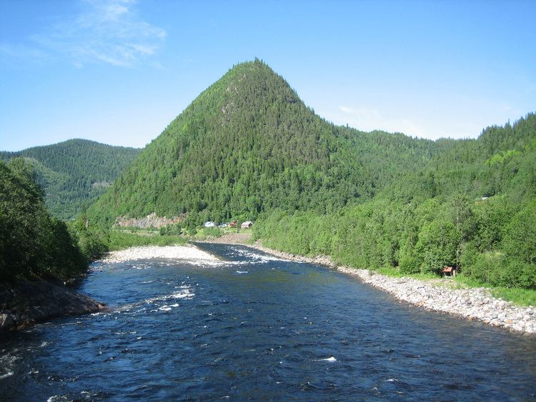
The Gaula flows through the Gauldal valley in Sør-Trøndelag county, Norway. It is the biggest river in Central Norway. The river begins in Holtålen near the mountain Kjølifjellet. It then flows through the municipalities of Holtålen, Midtre Gauldal, and Melhus before emptying into Trondheim Fjord near Leinstrand on the border between Trondheim and Melhus.
Map of Gaula, Norway
The Gaula River is approximately 145 kilometres (90 mi) long and it drains a watershed of 3,661 square kilometres (1,414 sq mi). On its way it is joined by one large tributary, the Sokna River in the village of Støren in Midtre Gauldal. Other smaller tributaries include the Rugla, Hesja, Holda, Forda and Bua.
Within the Gaula River, there are two well known waterfalls called Gaulfoss close to the village of Hovin and the Eggafoss near the village of Haltdalen.
In 2005 the Gaula became the best salmon fishing river in Norway with a catch of 37.5 tonnes (36.9 long tons; 41.3 short tons) and 42.5 tonnes (41.8 long tons; 46.8 short tons) in 2008. However, the Gaula is constantly listed among the top 5 salmon fishing rivers in Norway.