Postcode(s) 3694 Region Northeast Victoria Postal code 3694 | ||
 | ||
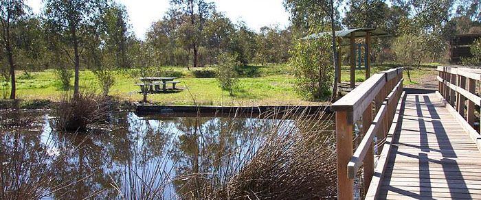
Gateway Island is an unpopulated suburb of the City of Wodonga local government area in northeast Victoria, Australia, adjacent to the Murray River and bounded in the south by the Wodonga Creek.
Map of Gateway Island VIC 3691, Australia
References
Gateway Island, Victoria Wikipedia(Text) CC BY-SA
