
3-digit postal code prefix 711 Local time Friday 10:13 PM | Time zone WAT (UTC+1) Area 214 km² | |
 | ||
Weather 24°C, Wind NE at 6 km/h, 13% Humidity | ||
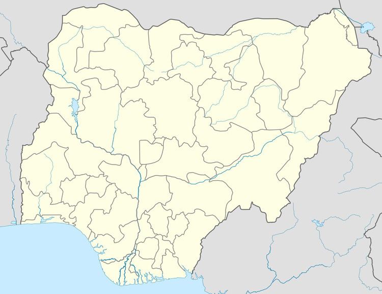
Garun Mallam is a Local Government Area in Kano State, Nigeria. Its headquarters are in the town of Garun Mallam on the A2 highway.
Map of Garum Mallam, Nigeria
It has an area of 214 km² and a population of 116,494 at the 2006 census.
The postal code of the area is 711.
References
Garun Mallam Wikipedia(Text) CC BY-SA