
OS grid reference TA264354 Sovereign state United Kingdom Postcode district HU11 Civil parish East Garton | Post town HULL Dialling code 01964 | |
 | ||
Weather 10°C, Wind S at 14 km/h, 93% Humidity | ||
Missing wiltshire man robin garton s car found
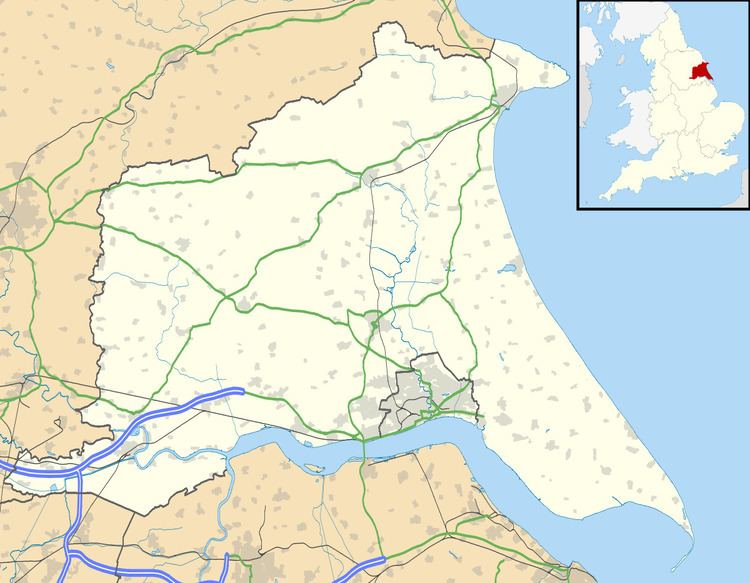
Garton (or Garton in Holderness) is a village in the East Riding of Yorkshire, England, in an area known as Holderness. It is situated approximately 7 miles (11 km) north-west of Withernsea town centre. It lies on the B1242 road.
It forms part of the civil parish of East Garton.
The church dedicated to St Michael was designated a Grade I listed building in 1966 and is now recorded in the National Heritage List for England, maintained by Historic England.
Blue Hall farm to the west of the village was designated in 1966 as a Grade II* listed building.
In 1823 inhabitants in the village numbered 160. Occupations included ten farmers, a bricklayer, a carpenter and a blacksmith. Two carriers operated between the village and Hull on Tuesdays.
References
Garton Wikipedia(Text) CC BY-SA