
Time zone CST (UTC-6) Area 135.6 km² Population 1,441 (2010) | Established November 5, 1867 Elevation 205 m Local time Friday 1:54 PM | |
 | ||
ZIP codes 61872, 61911, 61913, 61953 Weather 4°C, Wind NW at 27 km/h, 29% Humidity | ||
Garrett Township is one of nine townships in Douglas County, Illinois, USA. As of the 2010 census, its population was 1,441 and it contained 613 housing units.
Contents
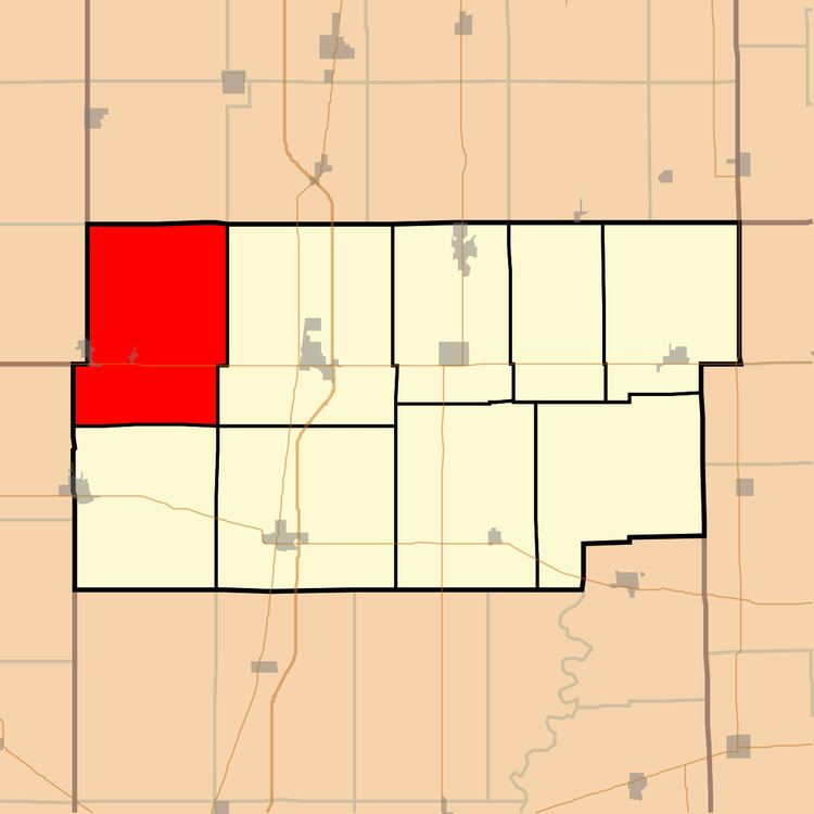
- Map of Garrett Township IL USA
- Geography
- Cities towns villages
- Unincorporated towns
- Cemeteries
- Major highways
- Airports and landing strips
- School districts
- Political districts
- References
Map of Garrett Township, IL, USA
Geography
According to the 2010 census, the township has a total area of 52.35 square miles (135.6 km2), of which 52.23 square miles (135.3 km2) (or 99.77%) is land and 0.13 square miles (0.34 km2) (or 0.25%) is water.
Cities, towns, villages
Unincorporated towns
Cemeteries
The township contains these four cemeteries: Lewis, Lower Lester, Taylor and Upper Lester.
Major highways
Airports and landing strips
School districts
Political districts
References
Garrett Township, Douglas County, Illinois Wikipedia(Text) CC BY-SA