OS grid reference NZ342347 Post town DARLINGTON Local time Friday 6:48 PM | Sovereign state United Kingdom Postcode district DL17 | |
 | ||
Weather 9°C, Wind S at 14 km/h, 94% Humidity | ||
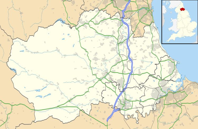
Garmondsway is a small dispersed hamlet (place) in the parish of Kelloe in County Durham, England situated between Durham and Sedgefield.
Map of Garmondsway, Ferryhill, UK
It is notable as including substantial remains of an abandoned village including an extant ridge and furrow field system and became a scheduled monument in 1957.
It was formerly part of the extra-parochial chapelry of Garmondsway Moor due to its ownership by Sherburn Hospital. Garmondsway Moor was also a civil parish between 1866 and 1937.
King Canute (1017–1035) reportedly walked five miles barefoot from Garmondsway to Durham Cathedral on pilgrimage, and gave the church a large estate around Staindrop and Gainford.
References
Garmondsway Wikipedia(Text) CC BY-SA
