
County Bourbon ZIP code 66741 Elevation 260 m | Time zone CST (UTC-6) Area code 620 Local time Friday 12:21 PM | |
 | ||
Weather 6°C, Wind NE at 19 km/h, 42% Humidity | ||
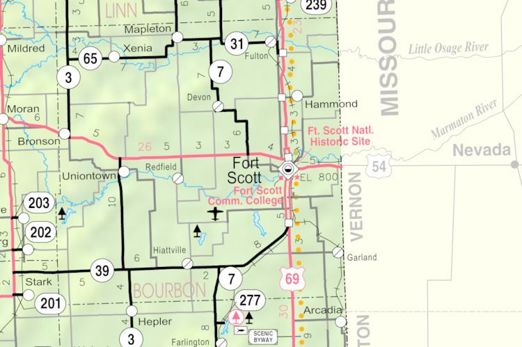
Garland is an unincorporated community in Bourbon County, Kansas, United States. Garland is located along the Missouri state line 8.5 miles (13.7 km) southeast of Fort Scott.
Contents
Map of Garland, KS 66741, USA
History
Garland was originally called Memphis. The name was changed to Garland (after a brand of stoves) when the railroad came through in the 1880s.
Geography
Garland is located along the Missouri state line 8.5 miles (13.7 km) southeast of Fort Scott.
References
Garland, Kansas Wikipedia(Text) CC BY-SA