
Population 987 (2006) Postcode(s) 3185 State electorate(s) Caulfield Founded 1908 Federal division Division of Goldstein | Established 1908 LGA(s) City of Glen Eira Area 30 ha Postal code 3185 | |
 | ||
Location 12 km (7 mi) from Melbourne | ||
Gardenvale is a suburb in Melbourne, Victoria, Australia, 10 km (6.2 mi) south-east of Melbourne's central business district. Its local government area is the City of Glen Eira. At the 2011 Census, Gardenvale had a population of 969.
Contents
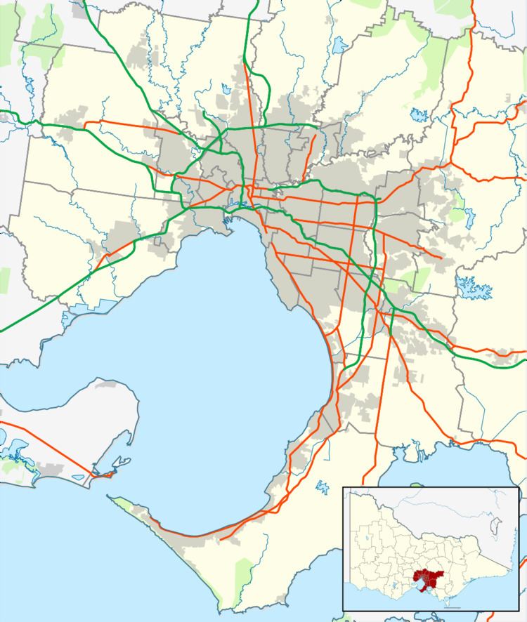
Map of Gardenvale VIC 3185, Australia
History
Prior to subdivision in 1908, the area was a paddock owned by the Lemprière family, and was in use as a polo ground. The Lemprières were a prominent Caulfield family with several members serving on the Caulfield Council.
The railway station, built in 1907, was named Garden Vale - the origins of the name are unknown, but it is possibly due to market gardens in the surrounding countryside.
A Garden Vale East Post Office opened in 1914, and was renamed Garden Vale in 1922 and Gardenvale about 1940. Also a Post Office opened in 1891 as Elsternwick Receiving House, and was renamed Elsternwick West in 1908, Gardenvale in 1909, Garden Vale in 1910, Garden Vale West in 1922, Gardenvale West about 1940 and closed in 1986.
The development of Garden Vale proved to be controversial, mainly because of arguments over who would pay to drain the land. Much of the area's land was too wet to be built upon without appropriate drainage being installed, and by 1911, several neighbouring estates, the Council and Victorian Railways all had a stake in the outcome. By 1913, the area had a progress association and in 1916, the council surveyor prepared plans for the four north-south streets in Gardenvale, which were already availed of a small but growing retail centre.
The name was gazetted as a suburb name in 1966.
Geography
The suburb is a mostly residential area with a strip shopping centre on Gardenvale Road. The suburb is bounded by Nepean Highway to the west, Elster Avenue to the north, Kooyong Road to the east and North Road to the south, and the Elster Creek flows through the suburb before entering the Elwood Canal.
The name Gardenvale is also used as a locality name with less definite boundaries. The railway station, built in the 19th century as part of the Rosstown Railway, was located a few blocks further North on the corner of Riddell Parade and Clarence Street in what is now officially part of Elsternwick. A section of Brighton North on the Western side of the Nepean Highway is also usually called Gardenvale, while postal addresses are officially Brighton or Brighton North.
Transport
Gardenvale is 12 km from Melbourne CBD via Nepean Highway, which enters the city as St Kilda Road. North Road connects the suburb with Monash University at Clayton, Oakleigh and Mulgrave.
The following bus routes operating around the area:
There is also Gardenvale railway station on the Sandringham line.
Postcodes
Prior to 2000, Gardenvale was one of several small Melbourne suburbs with two postcodes - being served by both Elsternwick (3185) to its north, and Brighton East (3187) to its south. However, from 2000 onwards, only 3185 was valid.