
Status Operational Height 80 m Surface area 61.7 km² | Purpose Power Owner(s) Electricite de Guinee Opened 1999 Construction began 1995 | |
 | ||
Opening date 1999; 18 years ago (1999) Similar Îles de Los, Le Centre Culturel Franco‑Guinéen, Sandervalia National Museum, Manantali Dam, Fouta Djallon | ||
The Garafiri Dam is an embankment dam on the Konkouré River which forms the boundary between the Kindia and Mamou Regions of Guinea. The dam was constructed by Salini Impregilo between 1995 and 1999 for the purpose of hydroelectric power generation and water supply. The power station had a breakdown in 2002 but was repaired shortly afterwards. The power station has an installed capacity of 75 megawatts (101,000 hp).
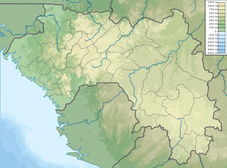
Map of Garafiri Dam, Guinea
References
Garafiri Dam Wikipedia(Text) CC BY-SA