
Country Kazakhstan Elevation -23 m (-75.5 ft) | Region Atyrau Region | |
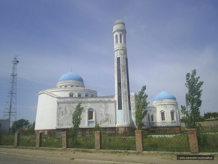 | ||
Ganyushkino (Kazakh: Ганюшкин, Ganyuşkïn, گانيۇشكٸن; Russian: Ганюшкино, Gańuškino) is the administrative center of the Kurmangazy District (Kazakh: Құрманғазы ауданы, Qurmanğazı awdanı, قۇرمانعازى اۋدانى), Atyrau Region, Kazakhstan. Ganyushkino is situated at 46°38'N, 49°08'E with an elevation of −23 m (−75 ft). Ganyushkino is in the west of Atyrau and close to the north shore of the Caspian Sea and the Kazakh-Russian border. It is in the area west of the Ural River and thus in the European part of Kazakhstan. Population: 12,750 (2009 Census results); 12,419 (1999 Census results).
Map of Ganyushkino, Kazakhstan
References
Ganyushkino Wikipedia(Text) CC BY-SA