Country South Korea Max length 27.2 km | Area 302.4 km² | |
 | ||
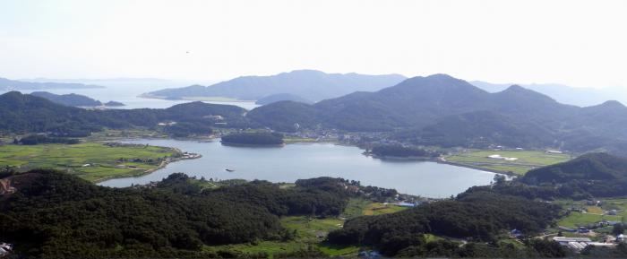
Ganghwa Island is an island in the estuary of the Han River, on the west coast of South Korea. Ganghwa Island is separated from Gimpo, on the mainland, by a narrow channel, which is spanned by two bridges. The main channel of the Han River separates the island from Gaeseong in North Korea.
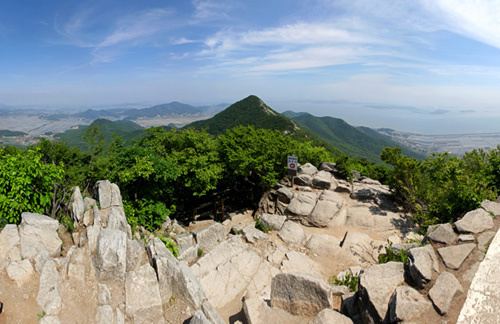
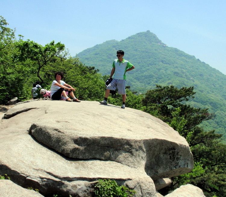
About 65,500 people live on the island. With an area of 302.4 km2 (116.8 sq mi), it constitutes most of Ganghwa County, a division of Incheon Municipality. About half of the island's population reside in Ganghwa-eup, Ganghwa Town, in the northeastern part of the island. The island's highest point is Mani-san, 469 m (1,539 ft) above sea level. The island measures 28 kilometres (17 mi) long and 22 kilometres (14 mi) wide, and is the 4th largest island in South Korea.
Historically, it is significant as being the location of separate punitive incursions; by the French in 1866, the United States in 1871, and the Japanese in 1875 when Korea was emerging from isolation.