
Country India District West Godavari Time zone IST (UTC+5:30) Elevation 8 m | State Andhra Pradesh Talukas Ganapavaram PIN 534198 | |
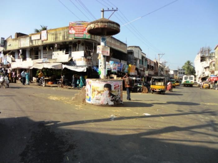 | ||
Ganapavaram is a village in West Godavari district of the Indian state of Andhra Pradesh.
Contents
Map of Ganapavaram, Andhra Pradesh 534198
Geopraphy
This place is situated in West Godavari, Andhra Pradesh, India, its geographical coordinates are 16° 42' 0" North, 81° 28' 0" East. Ganapavaram is located at between the Tadepalligudem and Bhimavaram. It has an average elevation of 14 metres (46 ft).
References
Ganapavaram, West Godavari district Wikipedia(Text) CC BY-SA