
Time zone Eastern (EST) (UTC-5) FIPS code 24-31350 Area 19.7 km² Local time Thursday 10:37 PM | ZIP codes 21054 Elevation 27 m Population 2,800 (2010) | |
 | ||
Country United States of America Weather 11°C, Wind S at 3 km/h, 46% Humidity | ||
Carroll s creek active adult 55 community in gambrills maryland
Gambrills refers to two neighboring places in Anne Arundel County, Maryland, in the Baltimore metro area: the unincorporated community of Gambrills, and the Gambrills census-designated place (CDP). The original community of Gambrills is now part of the Odenton CDP, while the Gambrills CDP lies to the northeast of the original community. The area was named for Augustine Gambrill, plantation owner. The population of the CDP was 2,800 at the 2010 census, up from 1,759 in 2000. Gambrills is served by MARC, the Maryland commuter rail service. There is a busy MARC station in the neighboring town of Odenton, with regular rail service to Baltimore and Washington, DC.
Contents
- Carroll s creek active adult 55 community in gambrills maryland
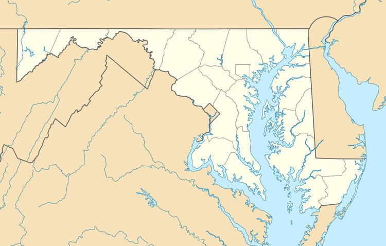
- Map of Gambrills MD USA
- Geography
- Schools
- References
Map of Gambrills, MD, USA
Geography
The original village of Gambrills is located along Maryland Route 175 (Annapolis Road), 2 miles (3 km) southeast of the center of Odenton. The CDP of Gambrills is to the northeast, separated from the village by Maryland Route 32, the Patuxent Freeway. The Gambrills CDP is bordered to the east by Interstate 97, a freeway connecting Baltimore and Annapolis.
Schools
The area is served by the following schools: