
3-digit postal code prefix 752 Local time Friday 3:48 AM | Time zone WAT (UTC+1) Area 2,925 km² | |
 | ||
Weather 23°C, Wind NE at 14 km/h, 17% Humidity | ||
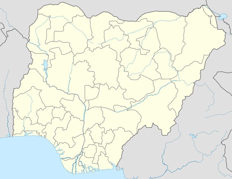
Gamawa is a Local Government Area of Bauchi State, Nigeria, bordering Yobe State in the east. Its headquarters are in the town of Gamawa.
Map of Gamawa, Nigeria
It has an area of 2,925 km² and a population of 286,388 at the 2006 census.
The predominant ethnic group in the area are the Hausa, Fulani People Fulfulde with the Kare living in the east.
The postal code of the area is 752.
References
Gamawa Wikipedia(Text) CC BY-SA