
OS grid reference SE2507872662 Sovereign state United Kingdom Postcode district HG4 Local time Friday 1:31 AM | Post town RIPON District Borough of Harrogate | |
 | ||
Weather 4°C, Wind S at 6 km/h, 85% Humidity | ||
Galphay is a village in North Yorkshire, England. It is situated in the Nidderdale Area of Outstanding Natural Beauty (AONB).
Map of Galphay, Ripon, UK
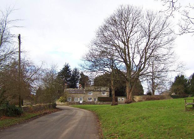
It is a lower dales village with around 70 houses, some four miles away from Ripon and close to the larger village of Kirkby Malzeard. A large central green is used for village events and has a flagstaff, village seat and a number of trees. The pub, The Galphay Inn is open Tuesdays to Sundays. The village has no church, shops or other public buildings and the Red Phone Box is also under threat of closure.
It is thought that the name may mean "the enclosure of the gallows". The earliest documentation about Galphay records that it was owned by Fountains Abbey in 1189.
Galphay now has around 70 houses, with a population of about 200. In the last 100 years, a village school was opened; and subsequently closed. The same fate awaited the Methodist Chapel, which is now a private house. A 'Village Institute', which was established after the First World War, is still in existence; housed in wooden structure originally used to house troops in training camp.