
3-digit postal code prefix 843 Local time Thursday 3:31 PM | Time zone WAT (UTC+1) Area 1,315 km² | |
 | ||
Weather 38°C, Wind NE at 19 km/h, 4% Humidity | ||
Gada is a Local Government Area in Sokoto State, Nigeria. Its headquarters are in the town of Gada.
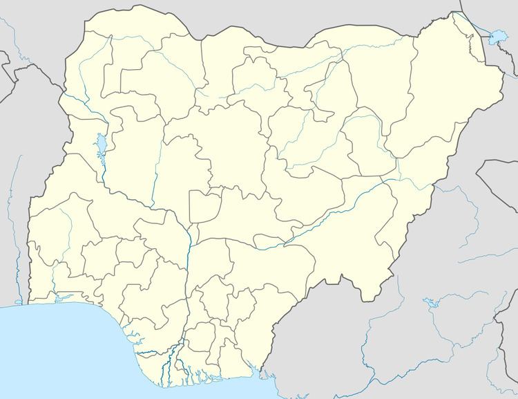
Map of Gada, Nigeria
Gada shares a border with the Republic of Niger to the north. It has an area of 1,315 km² and a population of 248,267 at the 2006 census.
The postal code of the area is 843.
References
Gada, Nigeria Wikipedia(Text) CC BY-SA