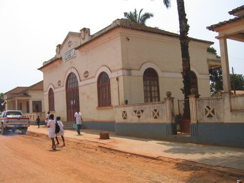
Area 4,642 km² | Elevation 942 m Local time Thursday 1:10 PM | |
 | ||
Weather 27°C, Wind W at 14 km/h, 49% Humidity | ||
Gabela is a town and commune in the municipality of Amboim, province of Cuanza Sul, Angola and the seat of that municipality. Its area comprises 4,642 km2 with a population of 126,000. It was founded as N'Guebela on September 28, 1907.
Contents
Map of Gabela, Angola
Around the town, some areas of the Angolan Scarp savanna and woodlands with its unique plants and animals are still to be found. The Gabela akalat (Sheppardia gabela), a species of bird, was first recorded here by scientists and subsequently named after the town, as were the Gabela helmet-shrike (Prionops gabela) and Gabela bush-shrike (Laniarius amboimensis); these endangered species are only found in the uplands near Gabela.
Mining and transport
Gabela used to have a mine with a 610 mm (2 ft) narrow gauge railway to Porto Amboim.
