
Time zone EET (UTC+2) Area 73 km² Area code 0452 | Region Black Sea Elevation 0 m (0 ft) Postal code 52xxx Local time Monday 2:18 AM Number of airports 1 | |
 | ||
Weather 10°C, Wind S at 2 km/h, 78% Humidity | ||
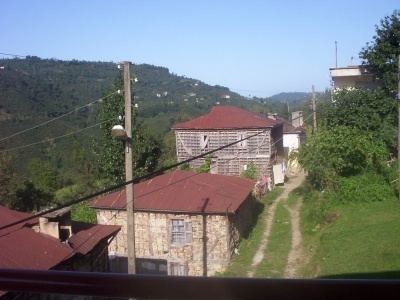
Gülyalı, formerly Abulhayır, is a town and district of Ordu Province in the Black Sea region of Turkey, 15 km east of the city of Ordu, towards Giresun. According to the 2000 census, population of the district is 10,566 of which 5,245 live in the town of Gülyalı. The district covers an area of 73 km2 (28 sq mi), and the town lies at an elevation of 0 m (0 ft).
Map of G%C3%BClyal%C4%B1, Eren Mahallesi, 52010 G%C3%BClyal%C4%B1%2FOrdu, Turkey
The villages of Gülyalı district include Yeniköy, Ambarcılı, Ayrılık, Kestane, Mustafalı, Taşlıçay, and Turnasuyu.
References
Gülyalı Wikipedia(Text) CC BY-SA