
Parent range Schober Group Mountain range Schober group | Elevation 3,096 m | |
 | ||
Location East Tyrol/Carinthia, Austria Similar Debantgrat, Ralfkopf, Hoher Perschitzkopf, Glödis, Keeskopf | ||
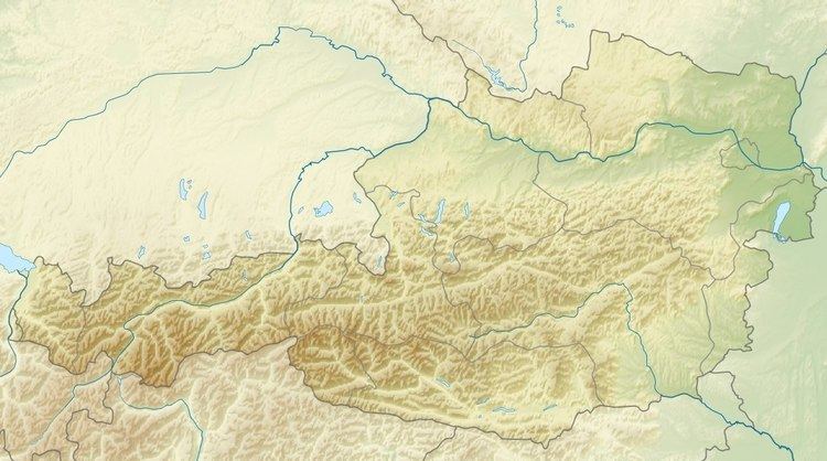
Gößnitzkopf is a mountain in the Schober Group of the Hohe Tauern range. It is located in Austria, along the border of East Tyrol and Carinthia. The elevation at its peak is 3,096 metres (10,157 ft).
Map of G%C3%B6%C3%9Fnitzkopf, 9981, Austria
The nearest municipalities are Nußdorf-Debant, Tyrol to the west and Heiligenblut, Carinthia to the east.
References
Gößnitzkopf Wikipedia(Text) CC BY-SA