Highest elevation 3,863 m (12,674 ft) Area 32,237 km² | County seat Ku Ertix (库额尔齐斯镇) Lowest elevation 430 m (1,410 ft) | |
 | ||
Township-level divisions 3 towns6 townships3 ethnic townships | ||
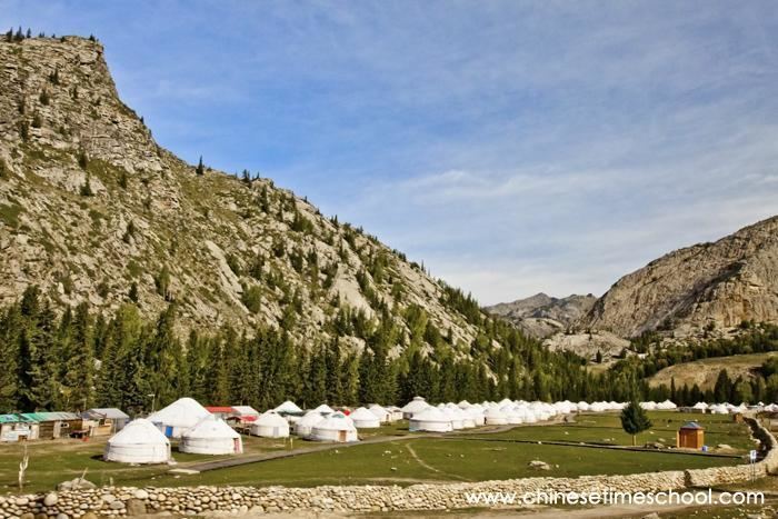
Fuyun (Koktokay) County (simplified Chinese: 富蕴县; traditional Chinese: 富蘊縣; pinyin: Fùyùn Xiàn; Uyghur language: كوكتوقاي ناھىيىسى, Коктоқай Наһийиси, Koktoqay Nahiyisi) is a county situated in the Xinjiang Uyghur Autonomous Region and is under the administration of the Altay Prefecture. It has an area of 32,237 km² with a population of 80,000. The seat of Fuyun County is in Ku Ertix Town (库额尔齐斯镇). The Koktokay National Geopark is in Koktokay Town (可可托海镇). The Postcode of Fuyun County is 836100.
Map of Fuyun, Altay, Xinjiang, China
References
Fuyun County Wikipedia(Text) CC BY-SA
