
Lowest elevation 1,200 m (3,900 ft) Postal code 601 00 | Highest elevation 1,320 m (4,330 ft) Time zone EET (UTC+2) Area code(s) +30-2351-xxx-xxx | |
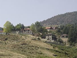 | ||
Fteri (Greek: Φτέρη, Aromanian: Fearica) is a village of the Katerini municipality. Before the 2011 local government reform it was part of the municipality of Petra, of which it was a municipal district. The 2011 census recorded 16 inhabitants in the village. Fteri is a part of the community of Milia.
Map of Fteri 601 00, Greece
References
Fteri, Pieria Wikipedia(Text) CC BY-SA