
Population 320 (2011 census) Postal code 3451 | Postcode(s) 3451 Local time Saturday 2:21 PM | |
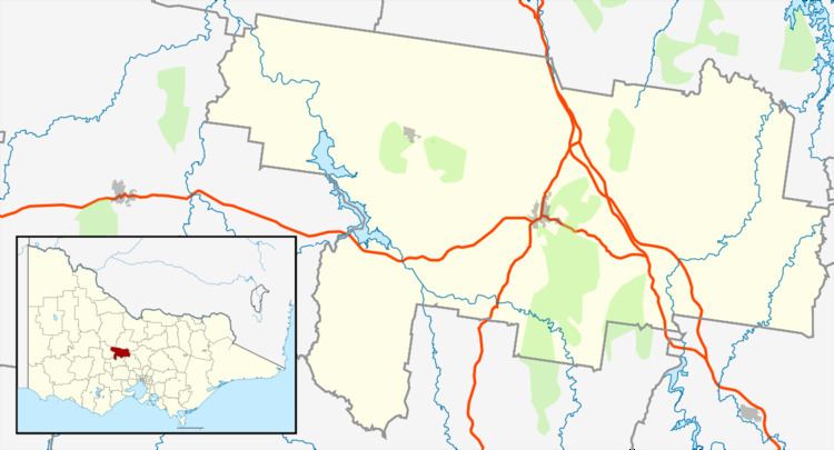 | ||
Location 115 km (71 mi) NW of Melbourne47 km (29 mi) S of Bendigo10 km (6 mi) S of Castlemaine40 km (25 mi) N of Daylesford LGA(s) Shire of Mount Alexander Weather 29°C, Wind N at 14 km/h, 31% Humidity | ||
Fryerstown is a small town in the "goldfields" region of Victoria, Australia.
Map of Fryerstown VIC 3451, Australia
At the 2011 census, Fryerstown and the surrounding area had a population of 320, which peaked at 15,000 during the Victorian gold rush.
The Post Office opened on 19 April 1854 as Fryer's Creek, was renamed Fryerstown in 1856, and closed in 1975.
References
Fryerstown, Victoria Wikipedia(Text) CC BY-SA