
OS grid reference TL640003 Local time Saturday 3:21 AM | Sovereign state United Kingdom Postcode district CM4 Dialling code 01277 | |
 | ||
Weather 11°C, Wind W at 31 km/h, 87% Humidity | ||
Fryerning is a small village situated just 1.5 miles north of Ingatestone in Essex, England. The Parish Church 'St. Mary the Virgin' on Blackmore Road dates back from the 11th century, with a 15th-century brick tower.
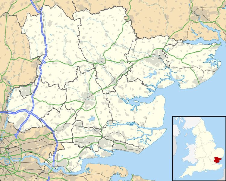
Map of Fryerning, Ingatestone, UK
Fryerning is known as an area of natural beauty, hidden away in mid Essex, with big areas of woodland populated by several very large herds of deer, which can frequently be seen by walkers and cyclists.
Amongst this Fryerning is also home to some of Britain's wealthiest residence, making it onto the top 10 richest villages list in the country with homes at an average price of £1,022,000 - with its post code, 'CM4', now Essex's most sought-after.
The village has no shops but two pubs: The Cricketers and the extremely popular Viper, which is almost always crowded with walkers and locals, and becomes particularly packed during its biannual beer festivals. The population of the village is included in the civil parish of Ingatestone and Fryerning.