
County Mesa FIPS code 08-28800 Elevation 1,423 m Zip code 81504 Area code 970 | Time zone MST (UTC-7) GNIS feature ID 0174621 Area 8 km² Population 7,675 (2010) | |
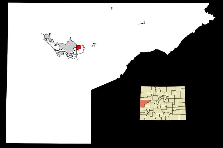 | ||
Fruitvale is a census-designated place (CDP) in Mesa County, Colorado, United States. The population was 7,675 at the 2010 census. The Grand Junction Post Office (ZIP Code 81504) serves Fruitvale postal addresses.
Contents
Map of Fruitvale, CO 81504, USA
Geography
Fruitvale is located at 39°5′32″N 108°28′53″W (39.092349, -108.481512).
According to the United States Census Bureau, the CDP has a total area of 3.1 square miles (8.0 km2), all of it land.
Climate
References
Fruitvale, Colorado Wikipedia(Text) CC BY-SA