
Country United States Incorporated 1953 Area 7.8 km² Population 920 (2013) Area code 865 | Settled 1790s Elevation 268 m Zip code 37737 Local time Friday 3:31 PM | |
 | ||
Weather 16°C, Wind SW at 21 km/h, 39% Humidity | ||
John j craig quarry ruins in friendsville tennessee
Friendsville is a city in Blount County, Tennessee, United States. Its population was 890 at the 2000 census and 913 at the 2010 census. It is included in the Knoxville, Tennessee Metropolitan Statistical Area.
Contents
- John j craig quarry ruins in friendsville tennessee
- Map of Friendsville TN USA
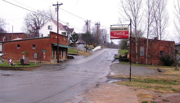
- Friendsville tennessee
- History
- Friendsville today
- Geography
- Demographics
- References
Map of Friendsville, TN, USA
Friendsville tennessee
History
Friendsville was founded by Quakers from New Garden, North Carolina, who settled in the area in the 1790s. The town is still home to a Friends Meetinghouse. In 1854, a group of British Quaker elders stayed here whilst promoting the abolitionist cause with American leaders. During this visit, abolitionist leader William Forster died and was buried here.
In the 19th century, the Quakers wielded considerable influence in Blount County, and were partially responsible for the abolitionist movements arising in the county in the years leading up to the Civil War. Along with nearby Greenback and possibly Cades Cove, Friendsville provided a stop on the Underground Railroad. A cave (since filled in) near the Friends Meetinghouse was stocked with provisions by Quakers such as William J. Hackney to provide a stopover for fugitive slaves and later soldiers en route to join the Union army.
Friendsville today
K-5 education in Friendsville is provided by Friendsville Elementary School, which was once Friendsville High School. Boat launch facilities along Fort Loudoun Lake can be found at Gallahar Creek and Whispering Cove.
Geography
Friendsville is located in western Blount County at 35°45′21″N 84°7′52″W (35.755804, -84.131028). The town is situated along State Route 333 (Miser Station Road) and stretches from Fort Loudoun Lake in the north to U.S. Route 321 (Lamar Alexander Parkway) to the south and lies at an elevation of 879 feet (268 m).
According to the United States Census Bureau, the city has a total area of 3.0 square miles (7.8 km2), all land.
Demographics
As of the census of 2000, there were 890 people, 362 households, and 271 families residing in the city. The population density was 281.3 people per square mile (108.7/km²). There were 395 housing units at an average density of 124.8 per square mile (48.3/km²). The racial makeup of the city was 97.42% White, 0.22% African American, 0.90% Native American, 0.90% Asian, and 0.56% from two or more races. Hispanic or Latino of any race were 1.01% of the population.
There were 362 households out of which 30.7% had children under the age of 18 living with them, 64.1% were married couples living together, 7.7% had a female householder with no husband present, and 25.1% were non-families. 22.7% of all households were made up of individuals and 11.0% had someone living alone who was 65 years of age or older. The average household size was 2.46 and the average family size was 2.89.
In the city the population was spread out with 22.1% under the age of 18, 7.3% from 18 to 24, 29.8% from 25 to 44, 26.4% from 45 to 64, and 14.4% who were 65 years of age or older. The median age was 40 years. For every 100 females there were 100.9 males. For every 100 females age 18 and over, there were 99.1 males.
The median income for a household in the city was $40,833, and the median income for a family was $48,000. Males had a median income of $32,232 versus $26,382 for females. The per capita income for the city was $16,871. About 5.0% of families and 7.1% of the population were below the poverty line, including 8.9% of those under age 18 and 9.7% of those age 65 or over.