
Time zone CET/CEST (UTC+1/+2) Area 75.68 km² Local time Friday 6:23 PM Dialling code 05504 | Elevation 181 m (594 ft) Postal codes 37133 Population 10,726 (31 Dec 2008) Postal code 37133 | |
 | ||
Weather 8°C, Wind W at 18 km/h, 59% Humidity | ||
Friedland is a municipality in the district of Göttingen, in Lower Saxony, Germany. It is situated on the river Leine, approx. 13 km south of Göttingen. Its seat is in the village of Groß Schneen, one of five communities in the municipality. The others are Friedland proper, Klein Schneen, Lichtenhagen, and Reiffenhausen.
Contents
Map of 37133 Friedland, Germany
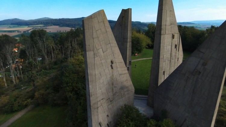
Friedland Refugee Camp
In September 1945, the Control Commission for Germany - British Element (CCG/BE) built a camp in Friedland, near the American (Hesse) and Soviet occupation (Thuringia) zones. The camp was designed as the first way station for refugees, evacuees, and returning soldiers. Starting in 1947, the camp was administered by the federal state of Lower Saxony. During the period of mass expulsions from 1944 to 1945, the camp offered services to large waves of refugees. Thereafter, it functioned primarily as a way station for German (or ethnic German) emigrants from Eastern bloc countries, especially from Poland, Romania, and the Soviet Union. Between 1950 and 1987, approximately 1.4 million people of German extraction came to the Federal Republic from the East; more than 60% of these emigrants came from Poland.