
 | ||
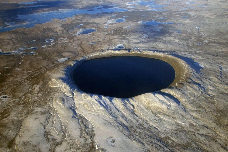
The Fried Egg is an informal name for an underwater geomorphic structure that is a suspected impact crater. This structure lies at a depth of 2 kilometres (1.2 miles) and is about 150 km (93 mi) from the Azores archipelago. It consists of a dome 300 meters (980 feet) high and 3 km (1.9 mi) in diameter that lies within a larger and roughly circular depression 110 m (360 ft) deep and 6 km (3.7 mi) in diameter. It is this morphology on which its informal name is based. Images that accompany media reports show the presence of a well-defined rim that surrounds the depression. These images also show a second but smaller circular depression, which also has a central peak, lying adjacent to the Fried Egg structure.
This structure is less than 17 million years old as constrained by the age of the ocean floor of which it is a part. Based on its morphology and the absence of any obvious lava flows that can be seen in the multibeam echosounder bathymetric data, it is hypothesized that this structure is a possible oceanic impact crater.
It was reported that the Fried Egg structure was first identified using data acquired during a 2008 multibeam echosounder hydrographic survey. It presence was confirmed during a research cruise from September to November 2009. In addition, gravity and magnetic data were also acquired during the September 2009 research cruise and that a third expedition using remotely operated underwater vehicles to gather samples from this structure was planned.