
Former name(s) New Street Postal code RG1 | ||
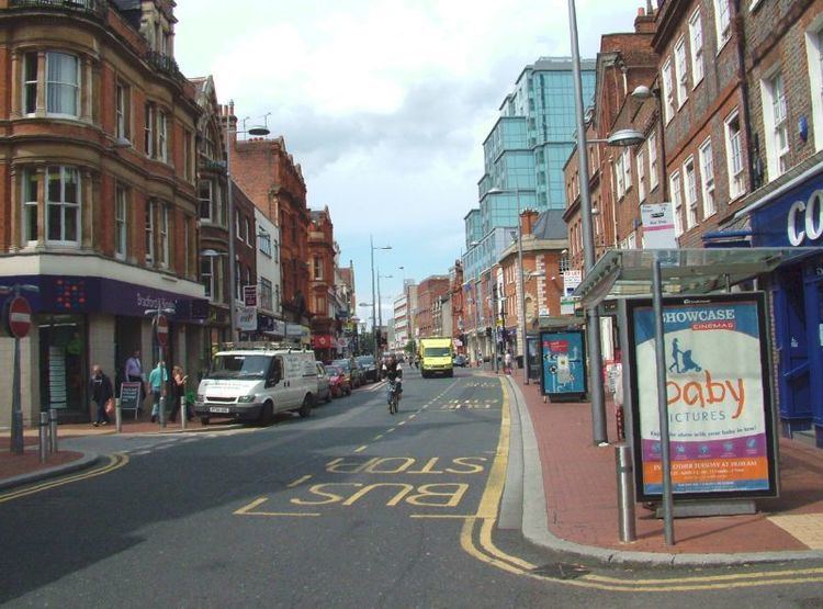 | ||
Vintage bus ride from idr to friar street reading
Friar Street is a thoroughfare in the English town of Reading. It runs parallel to Broad Street, connected by Union Street, Queen Victoria Street and Cross Street. At the western end is the Greyfriars Church and at the eastern end are the Town Hall and St Laurence's Church.
Contents
- Vintage bus ride from idr to friar street reading
- Map of Friar St Reading UK
- History
- Friars Walk
- References
Map of Friar St, Reading, UK
History
Excavations carried out on Friar Street in 1997 at the location of a proposed extension Marks and Spencer store by the Oxford Archaeological Unit revealed successive layers of old buildings, some of which date back to the 13th century.
The Frank Matcham-designed Royal County Theatre, built in 1895, was located on the south side of Friar Street. It burned down in 1937.
The opening of a Sainsbury's supermarket in 1963 led to the closure of many smaller shops.
Friars Walk
Friars Walk shopping centre, located at the western end of Friar Street, opened in 1973-4. It is currently derelict and will be demolished if the proposed Station Hill redevelopment project goes ahead. Currently Friars Walk is known as "The Mall" and is used as a venue for airsoft and immersive zombie survival games.