
Location Vik (Sogn og Fjordane) | Area 15 km² | |
 | ||
Similar Hove Church, Bakka Church, Kjelfossen, Hopperstad Stave Church, Kvinnefossen | ||
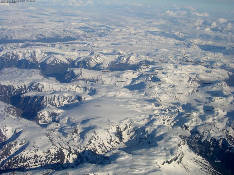
Fresvikbreen is a glacier on the south side of the Sognefjord in the municipality of Vik in Sogn og Fjordane, county, Norway. It lies between the Seljedal valley in the west, and the Storedal valley in the east. It is 9 kilometres (5.6 mi) southwest of the village of Fresvik and 11 kilometres (6.8 mi) southeast of the municipal center of Vikøyri.
Map of Fresvikbreen, Vik Municipality, Norway
The glacier has an area of 15 square kilometres (5.8 sq mi) and its highest point is 1,648 metres (5,407 ft) above sea level. Fresvikbreen is the 23rd largest glacier on the Norwegian mainland and travels at 13 metres (43 ft) per day.
References
Fresvikbreen Wikipedia(Text) CC BY-SA