
Country United States County Harper FIPS code 20-24725 Area 50 ha Population 5 (2013) Local time Friday 12:03 AM | State Kansas Time zone Central (CST) (UTC-6) GNIS feature ID 0470290 Elevation 407 m Zip code 67049 Area code 620 | |
 | ||
Weather 14°C, Wind S at 19 km/h, 87% Humidity | ||
Freeport is a city in Harper County, Kansas, United States. As of the 2010 census, the city population was 5, making it the smallest incorporated city in the state of Kansas.
Contents
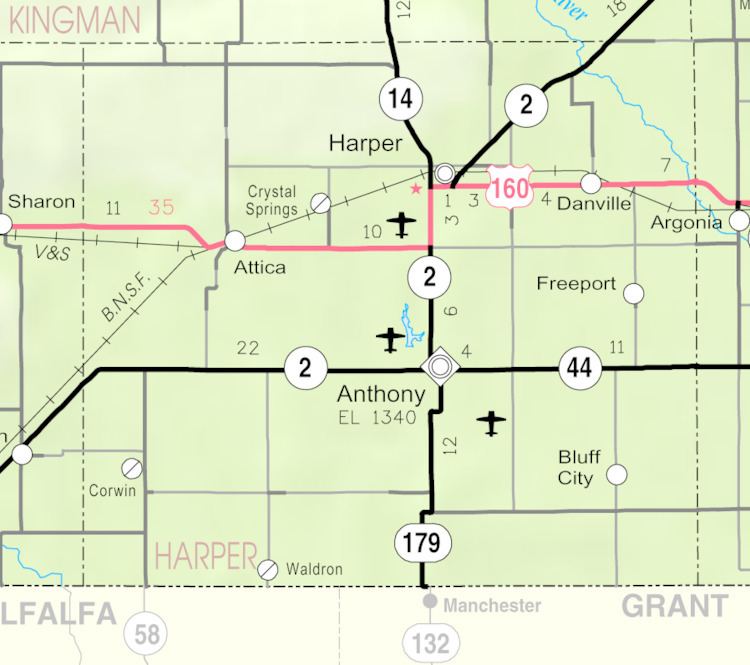
Map of Freeport, KS 67049, USA
History
Freeport was founded in 1885. It was located on the Missouri Pacific Railway.
The first post office in Freeport was established in September 1885.
Geography
Freeport is located at 37°11′50″N 97°51′23″W (37.197234, -97.856481). According to the United States Census Bureau, the city has a total area of 0.20 square miles (0.52 km2), all of it land.
2010 census
As of the census of 2010, there were 5 people, 3 households, and 2 families residing in the city. The population density was 25.0 inhabitants per square mile (9.7/km2). There were 4 housing units at an average density of 20.0 per square mile (7.7/km2). The racial makeup of the city was 80.0% White and 20.0% Native American.
There were 3 households of which 66.7% were married couples living together and 33.3% were non-families. 33.3% of all households were made up of individuals. The average household size was 1.67 and the average family size was 2.00.
The median age in the city was 66.5 years. 0.0% of residents were under the age of 18; 20% were between the ages of 18 and 24; 0.0% were from 25 to 44; 20% were from 45 to 64; and 60% were 65 years of age or older. The gender makeup of the city was 60.0% male and 40.0% female.
2000 census
As of the census of 2000, there were 6 people, 3 households, and 3 families residing in the city. The population density was 31.5 people per square mile (12.2/km²). There were 5 housing units at an average density of 26.3 per square mile (10.2/km²). The racial makeup of the city was 100.00% White.
There were 3 households out of which none had persons under the age of 18 living with them, 66.7% were married couples living together, and 33.3% had a female householder with no husband present. The average household size was 2.00 and the average family size was 2.00.
In the city, the population was spread out with 33.3% from 45 to 64, and 66.7% who were 65 years of age or older. The median age was 66 years. For every 100 females there were 100 males. For every 100 females age 18 and over, there were 100 males.
The median income for a household in the city was $31,250, and the median income for a family was $31,250. Males had a median income of $0 versus $0 for females. The per capita income for the city was $14,590. None of the population and none of the families were below the poverty line.
Education
Freeport is served by USD 361 Chaparral Schools.